


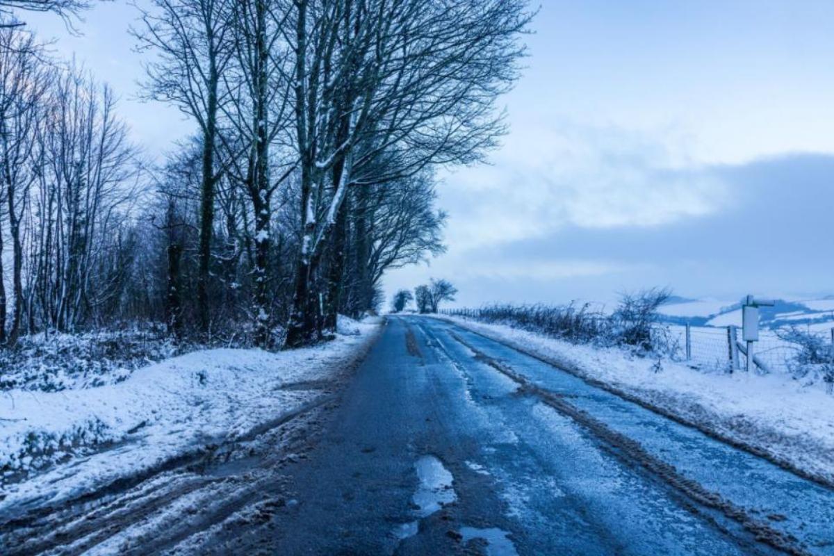

Residents across Renfrewshire are being told to expect travel disruptions as the Met Office issues a new ice warning.
The yellow warning comes with cautions over potential hazardous journeys, slippery pavements, and delays to public transport.
Wintry showers could lead to the development of further icy patches.

READ NEXT:
-
Glasgow set to be battered by SNOW as fresh yellow warning issued by Met Office
-
Experts issue urgent warning to Glaswegians as NEW flood alert covers city
-
When will it stop raining in the UK? Met Office and BBC Weather reveals all
-
Classic February forecast for Glasgow- Here's what Met Office experts say to expect
The move is in response to the threat of rain, sleet, and hill snow on Monday night.
The precipitation is forecast to create ice patches, making roads, pavements, and cycle paths hazardous for users.
This forecasted ice hazard is expected to remain in place into Tuesday, after skies clear and temperatures drop rapidly once the showers have passed.
This situation is set to create significant risks, with the Met Office warning residents of the likelihood of injuries from slips and falls on icy surfaces.
The agency anticipates particularly treacherous conditions on untreated roads, pavements, and cycle paths, urging residents to exercise extra caution.
Furthermore, strong winds are also predicted to sweep along some North Sea coasts, adding to the tough weather conditions.
This period of brisk northwesterly gusts is expected to last into Tuesday morning.
Given these forecasts, the Met Office strongly recommends that residents increase their travel time allowances to avoid the risks linked to rushing in these conditions.
They urge individuals to leave their homes at least five minutes earlier than usual.
Pedestrians and cyclists are also advised to stick to main roads and paths, which are more likely to be safe due to better maintenance and preemptive ice treatments.
The warning applies across Strathclyde and its constituent areas, which include Argyll and Bute, East Ayrshire, East Dunbartonshire, East Renfrewshire, Glasgow, North Lanarkshire, Renfrewshire, South Lanarkshire, and West Dunbartonshire.
As Monday rolls out, residents can expect a predominantly cloudy day peppered with scattered showers, which are expected to turn wintry on the hills.
However, as the day proceeds, the north and west areas are likely to experience brighter spells.
Meanwhile, the maximum temperature for the day is forecast to hover at around 7°C.
Monday night is likely to present mainly dry conditions, interspersed with variable cloudiness.

The fresh northwesterly winds along the coast are expected to continue into the evening.
The minimum temperature is anticipated to fall to -2°C.
On Tuesday, all areas are projected to have a predominantly dry and cold day, peppered with long periods of sunshine.
Light winds are expected, with temperatures peaking at 5°C.
READ NEXT:
-
NEW yellow warning as Glasgow braced for SNOW this Valentines weekend
-
Winter weather continues to bite in UK as snow and ice warnings in place
The outlook for the rest of the week signals dry and cold conditions on Wednesday and Thursday, with overnight frost.
However, Friday is forecast to introduce milder conditions as periods of rain make their way eastward.
As Renfrewshire and the wider Strathclyde area brace for these weather developments, the Met Office continues to issue up-to-date warnings and advice.


Share